As the title suggests, I’m trying to visualize data for a news agency, specifically elections data and results, onto a map.
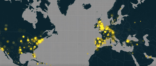
Is there any way I can do something similar to this New York Times story via an integrations app on Ghost? I’d like to get past elections results added to a map.
That’s very much possible. I use Mapbox, raster maps or the newer vector alternative. There’s also Tableau, or Carto (also raster vs vector), or classic Leaflet.
Also, there are all sorts of interesting new alternatives, but I’d be careful with those: sometimes they disappear and so does all your maps and animations.